High-quality imagery has always been the foundation of the Betterview platform. Our computer vision tools can identify, monitor, and score property risk, but they are only as powerful as the imagery they are applied to. To empower P&C insurers to predict and prevent losses, streamline efficiency, and better communicate with their customers, we prioritize providing them with the best possible imagery.
Earlier in our company’s history, we depended on drones to collect imagery. However, over four years ago and after exploring the advantages and drawbacks of other imagery sources, we moved away from drones. For the advantages it offers in both accuracy and coverage, we use aerial imagery on our platform instead.
WHY DRONE IMAGERY DOES NOT SCALE
In the early days of our company, we used drone imagery to give insurers a better view of roof risk. In fact, we did more than ingest imagery from drones: we flew them ourselves. Our co-founder and COO Dave Tobias previously worked in the property inspection business, where he became familiar with the advantage drones offered in terms of accuracy. In our quest to give customers a comprehensive, actionable view of real property condition, drones were an important first step.
Since 2018, however, Betterview has pivoted away from drone imagery for many reasons. The main factor was that drones simply do not scale. While drones can deliver a high level of accuracy, they require a level of coordination and cost that makes them unsustainable for P&C insurance use cases. Every time drone imagery is needed, you must coordinate with a pilot, approve a flight plan, get consent from the home or business owner, and finally transfer the imagery back in-house. The cost associated with this process is high, and the speed is low; the amount of coverage pales in comparison to other sources, particularly aerial imagery. For all these reasons, Betterview decided to move away from drones years ago. Although drones can still be useful when a physical inspection at a property is required, we no longer use drones for any of the imagery on our platform.
THE LIMITS ON SATELLITE IMAGERY
Another option we considered was satellite imagery. Once again, however, our team determined this method to be insufficient for our needs. While satellite imagery offers a rapid collection pace and near-total coverage, it lacks the level of quality that our platform demands. The US government restricts the production of any satellite imagery finer than 0.31 m in resolution. Other countries in Europe have imposed similar regulations. This resolution is not fine enough to identify property-level factors such as roof staining, missing shingles, and other attributes that the Betterview platform depends on to identify and manage risk. Because our platform demands the highest-quality imagery available, satellite imagery does not meet our requirements.
AERIAL IMAGERY: SPEED, ACCURACY, AND COVERAGE

Drones can deliver highly accurate imagery, but without the necessary amount of coverage and speed. Satellite imagery has coverage and speed but is lacking in terms of quality. The “Goldilocks” option, then, is aerial imagery.
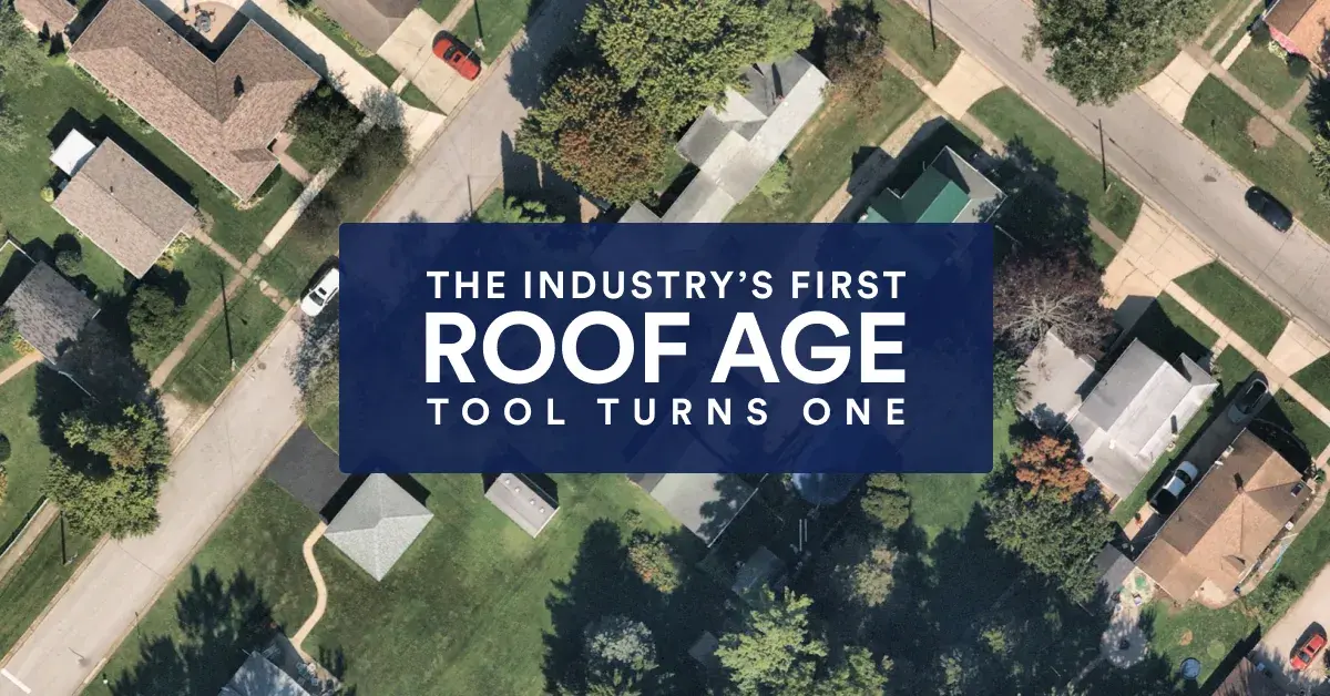
When we say, “aerial imagery,” what we are referring to is photography collected by fixed-wing, small, manned aircraft making periodic flights. Equipped with specially designed aerial cameras at both high and low altitudes, these aircraft can capture vertical and oblique imagery across the entire continental United States, as well as many parts of Canada, Europe, and other countries across the globe. Using a technique called photogrammetry, this imagery can then be converted into 2D and 3D digital models.
Aerial imagery meets Betterview's need for both accuracy and coverage:
- Accuracy: Aerial imagery returns a comparable resolution to drones, and far more than satellites at between 5-15 GSD. Thanks to this level of granularity, our platform is able to identify individual risks drivers and spotlight them, especially on roofs.
- Coverage: Aerial imagery provides up to five captures a year for immediate pull on our platform. This gives users access to historical imagery at far lower cost than drones would be capable of, allowing them to see how property conditions change over time.
Aerial imagery is the perfect fit for the needs of our customers, empowering them to identify, manage, and monitor risk at every stage of the policy lifecycle. In addition, we supplement this imagery with tools from our trusted industry partners. For example, in order to capture the best data on hail strikes and hail damage we rely on datasets from Canopy Weather – available in PartnerHub, our marketplace for third-party property data and insights. For fast and accurate imagery after catastrophic events, we have partnered with NearMap. (Learn more about our post-CAT solutions and our CAT Response System.)
To best serve our customers, we strive to make our platform the perfect combination of great technology and ease of use. Thanks to aerial imagery – which meets our demands for both coverage and accuracy – we are able to empower P&C insurers to make strategic, immediate decisions around real property risk. Learn more about our platform today!

.png) Jason Janofsky
Jason Janofsky


